Create a matrix showing which planning units are within a certain spatial proximity to each other.
Usage
proximity_matrix(x, distance)

# S3 method for class 'Raster'
proximity_matrix(x, distance)

# S3 method for class 'SpatRaster'
proximity_matrix(x, distance)

# S3 method for class 'SpatialPolygons'
proximity_matrix(x, distance)

# S3 method for class 'SpatialLines'
proximity_matrix(x, distance)

# S3 method for class 'SpatialPoints'
proximity_matrix(x, distance)

# S3 method for class 'sf'
proximity_matrix(x, distance)

# Default S3 method
proximity_matrix(x, distance)
Arguments
- x
terra::rast()orsf::sf()object representing planning units.- distance
numericdistance threshold. Planning units that are further apart from each other than this threshold are not treated as being within proximity of each other.
Value
A Matrix::dsCMatrix symmetric sparse matrix object.
Each row and column represents a planning unit.
Cells values indicate if the pair-wise distances between different
planning units are within the distance threshold or not (using ones and
zeros). To reduce computational burden, cells among the matrix diagonal are
set to zero. Furthermore, if x is a
terra::rast() object, then cells with missing (NA)
values are set to zero too.
Details
Proximity calculations are performed using sf::st_is_within_distance().
See also
Proximity matrix data might need rescaling to improve optimization
performance. See rescale_matrix() to perform rescaling.
Examples
# load data
sim_pu_raster <- get_sim_pu_raster()
sim_pu_polygons <- get_sim_pu_polygons()
sim_pu_lines <- get_sim_pu_lines()
sim_pu_points <- get_sim_pu_points()
# create proximity matrix using raster data
## crop raster to 9 cells to provide a small example
r <- terra::crop(sim_pu_raster, c(0, 0.3, 0, 0.3))
## make proximity matrix using a distance threshold of 2
cm_raster <- proximity_matrix(r, distance = 2)
# create proximity matrix using polygon data
## subset 9 polygons to provide a small example
ply <- sim_pu_polygons[c(1:3, 11:13, 20:22), ]
## make proximity matrix using a distance threshold of 2
cm_ply <- proximity_matrix(ply, distance = 2)
# create proximity matrix using line data
## subset 9 lines to provide a small example
lns <- sim_pu_lines[c(1:3, 11:13, 20:22), ]
## make proximity matrix
cm_lns <- proximity_matrix(lns, distance = 2)
## create proximity matrix using point data
## subset 9 points to provide a small example
pts <- sim_pu_points[c(1:3, 11:13, 20:22), ]
# make proximity matrix
cm_pts <- proximity_matrix(pts, distance = 2)
## plot raster and proximity matrix
plot(r, main = "raster", axes = FALSE)
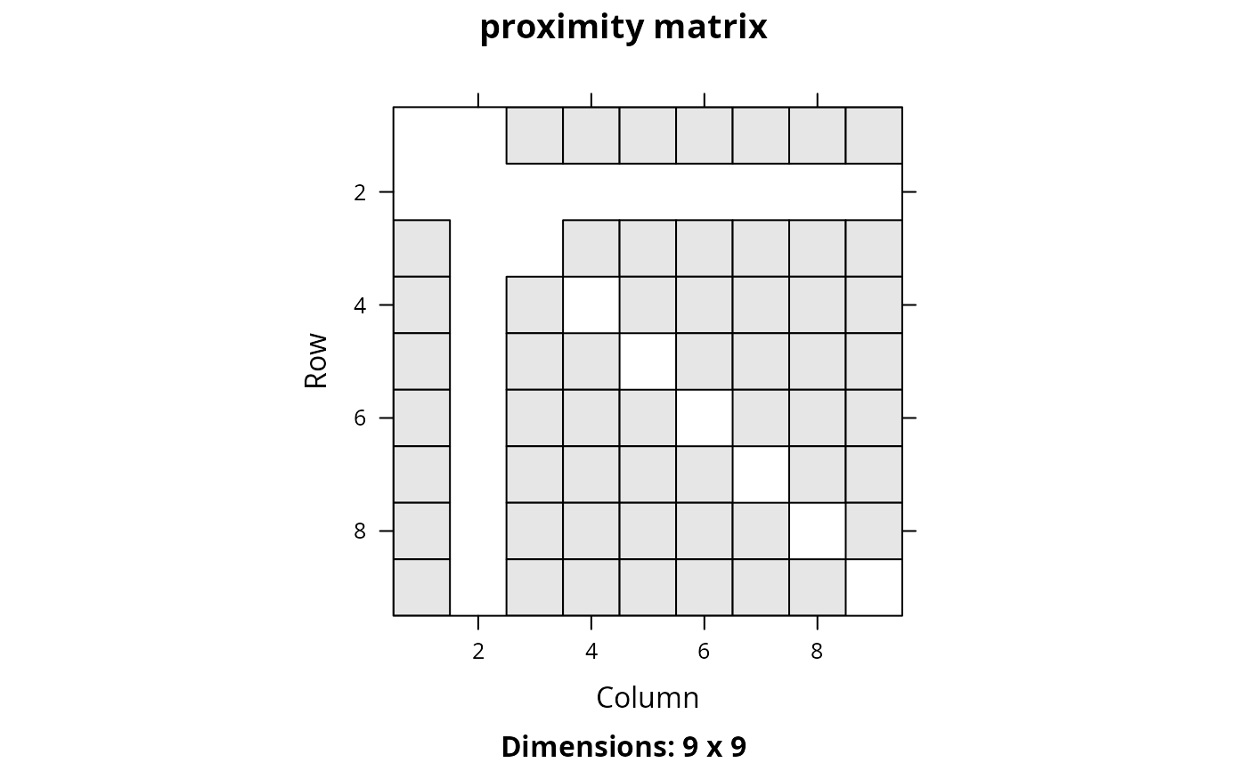
 Matrix::image(cm_raster, main = "proximity matrix")
 ## plot polygons and proximity matrix
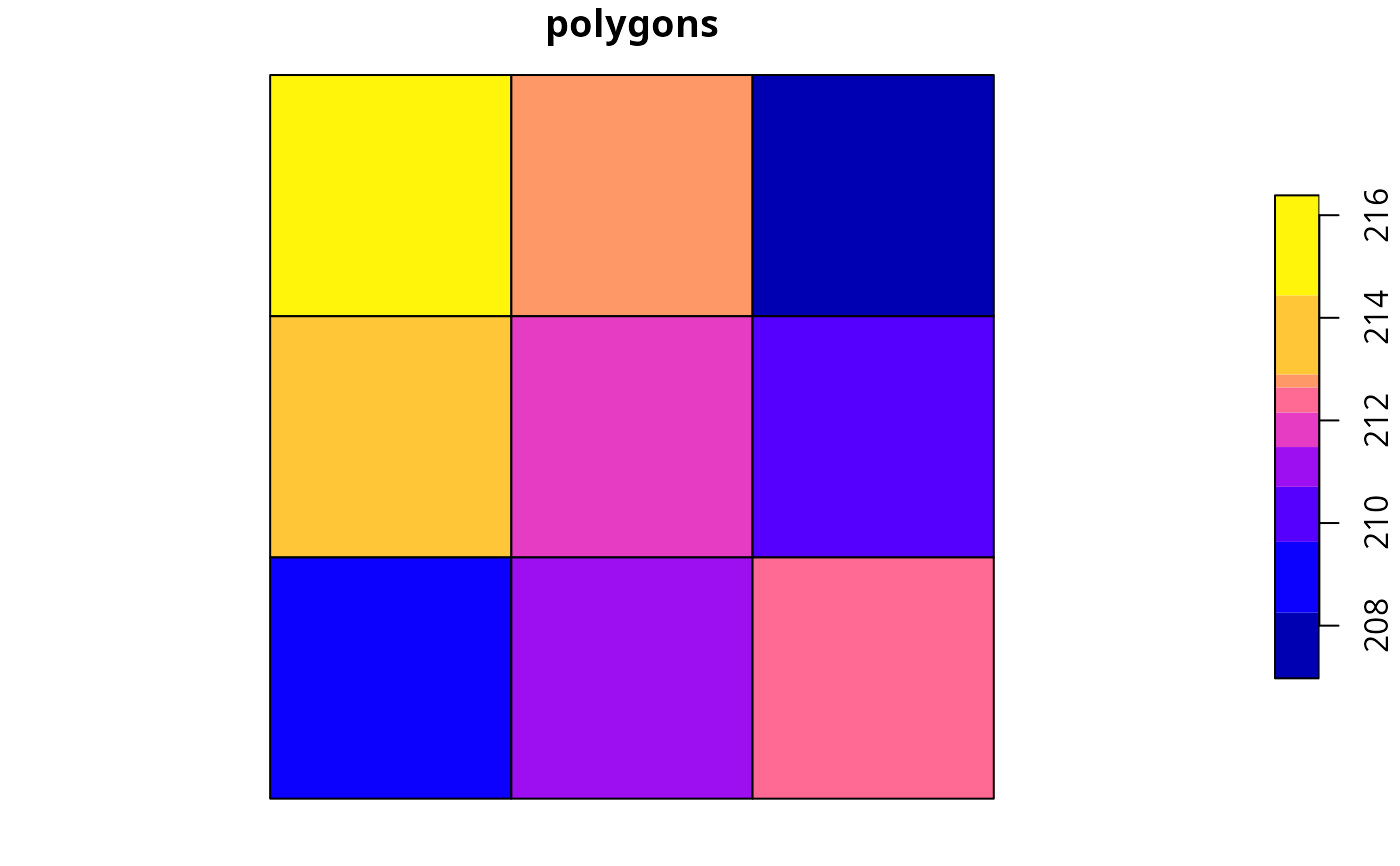
plot(ply[, 1], main = "polygons", axes = FALSE)
## plot polygons and proximity matrix
plot(ply[, 1], main = "polygons", axes = FALSE)
 Matrix::image(cm_ply, main = "proximity matrix")
 ## plot lines and proximity matrix
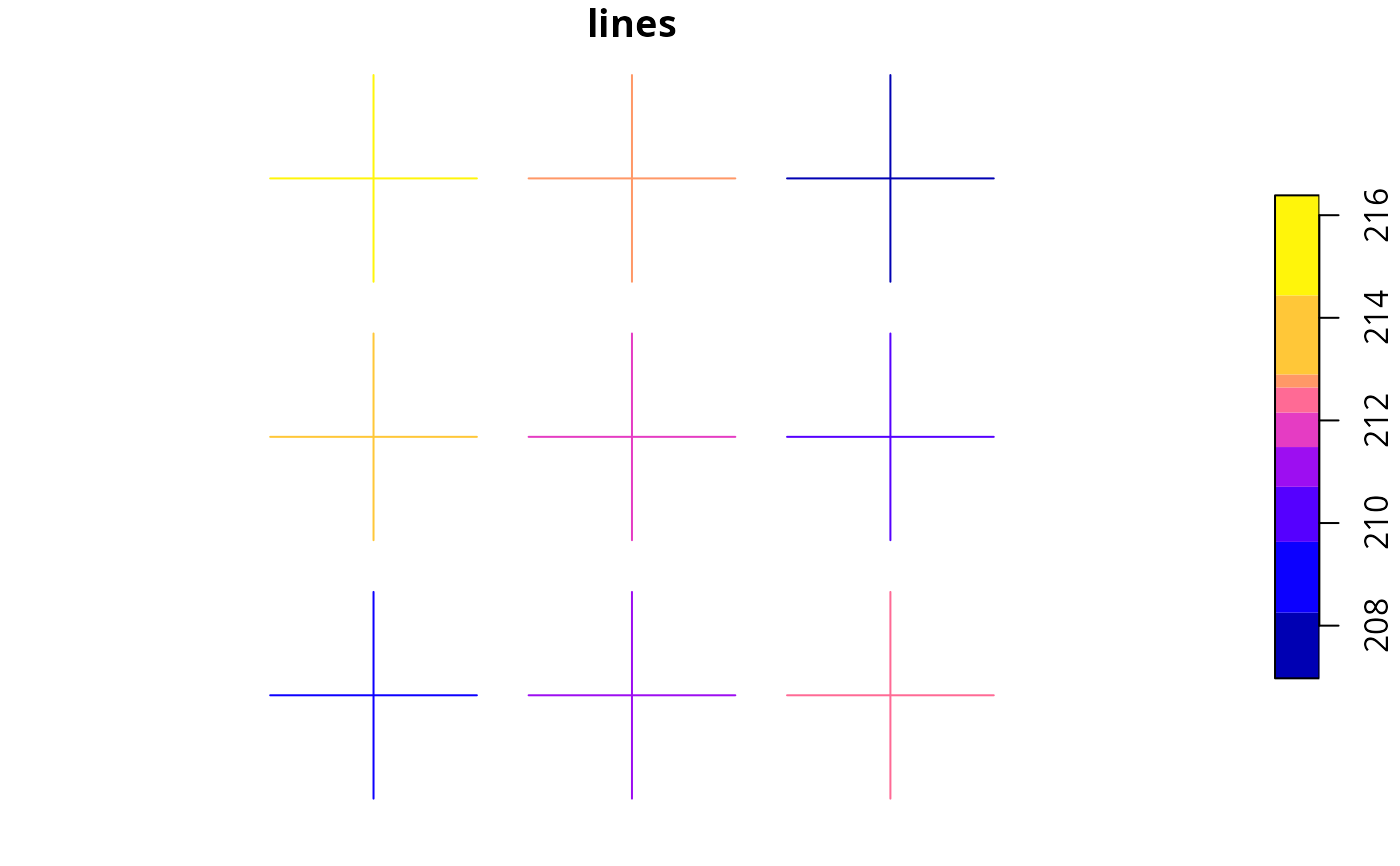
plot(lns[, 1], main = "lines", axes = FALSE)
## plot lines and proximity matrix
plot(lns[, 1], main = "lines", axes = FALSE)
 Matrix::image(cm_lns, main = "proximity matrix")
 ## plot points and proximity matrix
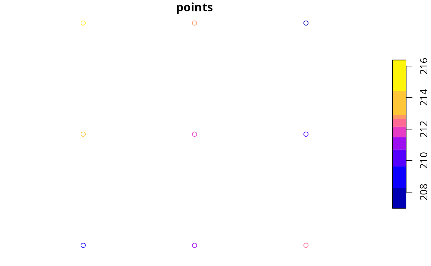
plot(pts[, 1], main = "points", axes = FALSE)
## plot points and proximity matrix
plot(pts[, 1], main = "points", axes = FALSE)
 Matrix::image(cm_pts, main = "proximity matrix")
