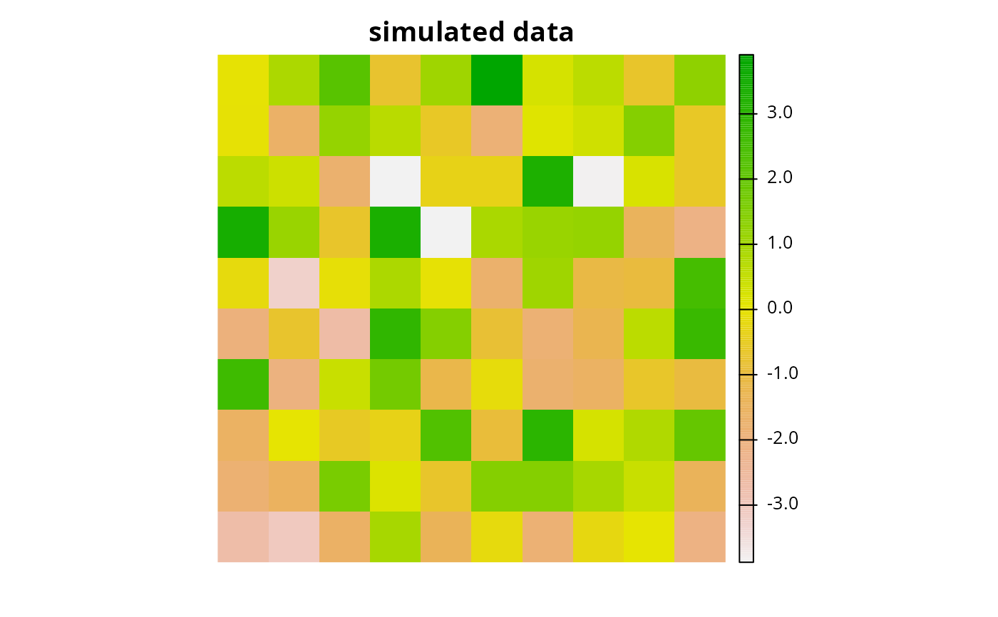
Simulate spatially auto-correlated data using Gaussian random fields.
Usage
simulate_data(x, n, scale, intensity, sd, transform)

# S3 method for class 'Raster'
simulate_data(
  x,
  n = 1,
  scale = 0.5,
  intensity = 0,
  sd = 1,
  transform = identity
)

# S3 method for class 'SpatRaster'
simulate_data(
  x,
  n = 1,
  scale = 0.5,
  intensity = 0,
  sd = 1,
  transform = identity
)
Arguments
- x
terra::rast()object to use as a template.- n
integervalue denoting the number of layers to simulate. Defaults to 1.- scale
numericvalue denoting the level of spatial auto-correlation in the simulated data. Defaults to 0.5.- intensity
numericvalue denoting the average value of simulated data. Defaults to 0.- sd
numericvalue denoting the standard deviation of simulated data. Defaults to 1.- transform
functionto transform simulated data. Defaults to theidentity()function such that values remain the same after simulation.
Value
A terra::rast() object.
See also
Other functions for simulating data:
simulate_cost(),
simulate_species()