Organize data for multiple features for multiple management zones. Specifically, the data should describe the expected amount of each feature within each planning unit given each management zone. For example, the data could describe the occupancy (e.g., presence/absence), probability of occurrence, or abundance expected for each feature when each planning unit is allocated to a different zone.
Arguments
- ...
terra::rast()orcharacterobjects that pertain to the feature data. See Details for more information.- zone_names
characternames of the management zones. Defaults toNULLsuch that zones are assigned names according in sequential integers.- feature_names
characternames of the features. Defaults toNULLsuch that features are assigned names according in sequential integers.
Details
This function is used to store and organize data for use in a
conservation planning problem() that has multiple management
zones.
In particular, the data for each zone should be specified as a separate
argument.
The correct arguments depends on the type of planning unit data
used when building the conservation planning problem().
problem()will haveterra::rast()orsf::st_sf()planning unitsHere
terra::rast()objects can be specified to specify the expected amount of each feature within each planning unit under each management zone. Data for each zone should be specified as separate arguments, and the data for each feature in a given zone are specified in separate layers in aterra::rast()object. Note that all layers for a given zone must have missing (NA) values in exactly the same cells.problem()will havesf::st_sf()ordata.frameplanning unitsHere
charactervectors containing column names can be used to specify the expected amount of each feature under each zone. Note that these columns must not contain any missing (NA) values.
See also
See problem() for information on using this function to generate
a prioritization with multiple management zones.
Examples
# load planning unit data
sim_pu_raster <- get_sim_pu_raster()
# simulate distributions for three species under two management zones
zone_1 <- simulate_species(sim_pu_raster, 3)
zone_2 <- simulate_species(sim_pu_raster, 3)
# create zones using two SpatRaster objects
# each object corresponds to a different zone and each layer corresponds to
# a different species
z <- zones(
zone_1, zone_2,
zone_names = c("zone_1", "zone_2"),
feature_names = c("feature_1", "feature_2", "feature_3")
)
print(z)
#> A zones object <ZonesSpatRaster/Zones>
#> • zones: "zone_1" and "zone_2" (2 total)
#> • features: "feature_1", "feature_2", and "feature_3" (3 total)
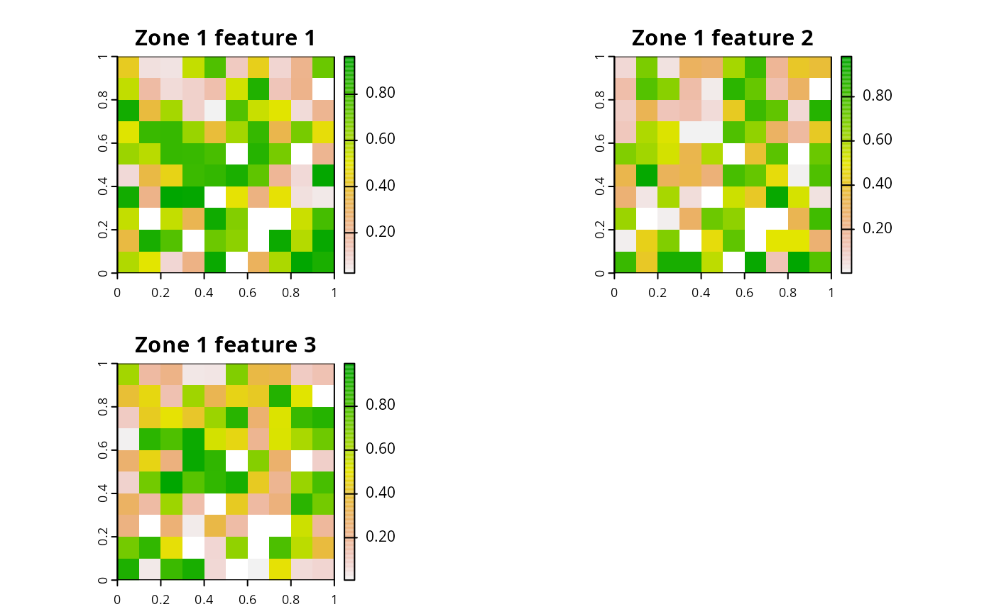
# plot the rasters for the first zone in the Zones object
plot(
z[[1]],
main = c("Zone 1 feature 1", "Zone 1 feature 2", "Zone 1 feature 3")
)
 # note that the do.call function can also be used to create a Zones object
# this method for creating a Zones object can be helpful when there are many
# management zones
l <- list(
zone_1, zone_2,
zone_names = c("zone_1", "zone_2"),
feature_names = c("feature_1", "feature_2", "feature_3")
)
z <- do.call(zones, l)
print(z)
#> A zones object <ZonesSpatRaster/Zones>
#> • zones: "zone_1" and "zone_2" (2 total)
#> • features: "feature_1", "feature_2", and "feature_3" (3 total)
# create zones using character vectors corresponding to column names
# of a data.frame or Spatial object that contain the amount
# of each species expected different management zones
z <- zones(
c("spp1_zone1", "spp2_zone1"),
c("spp1_zone2", "spp2_zone2"),
c("spp1_zone3", "spp2_zone3"),
zone_names = c("zone1", "zone2", "zone3"),
feature_names = c("spp1", "spp2")
)
print(z)
#> A zones object <ZonesCharacter/Zones>
#> • zones: "zone1", "zone2", and "zone3" (3 total)
#> • features: "spp1" and "spp2" (2 total)
# note that the do.call function can also be used to create a Zones object
# this method for creating a Zones object can be helpful when there are many
# management zones
l <- list(
zone_1, zone_2,
zone_names = c("zone_1", "zone_2"),
feature_names = c("feature_1", "feature_2", "feature_3")
)
z <- do.call(zones, l)
print(z)
#> A zones object <ZonesSpatRaster/Zones>
#> • zones: "zone_1" and "zone_2" (2 total)
#> • features: "feature_1", "feature_2", and "feature_3" (3 total)
# create zones using character vectors corresponding to column names
# of a data.frame or Spatial object that contain the amount
# of each species expected different management zones
z <- zones(
c("spp1_zone1", "spp2_zone1"),
c("spp1_zone2", "spp2_zone2"),
c("spp1_zone3", "spp2_zone3"),
zone_names = c("zone1", "zone2", "zone3"),
feature_names = c("spp1", "spp2")
)
print(z)
#> A zones object <ZonesCharacter/Zones>
#> • zones: "zone1", "zone2", and "zone3" (3 total)
#> • features: "spp1" and "spp2" (2 total)